Spatial Intelligence & Property Data
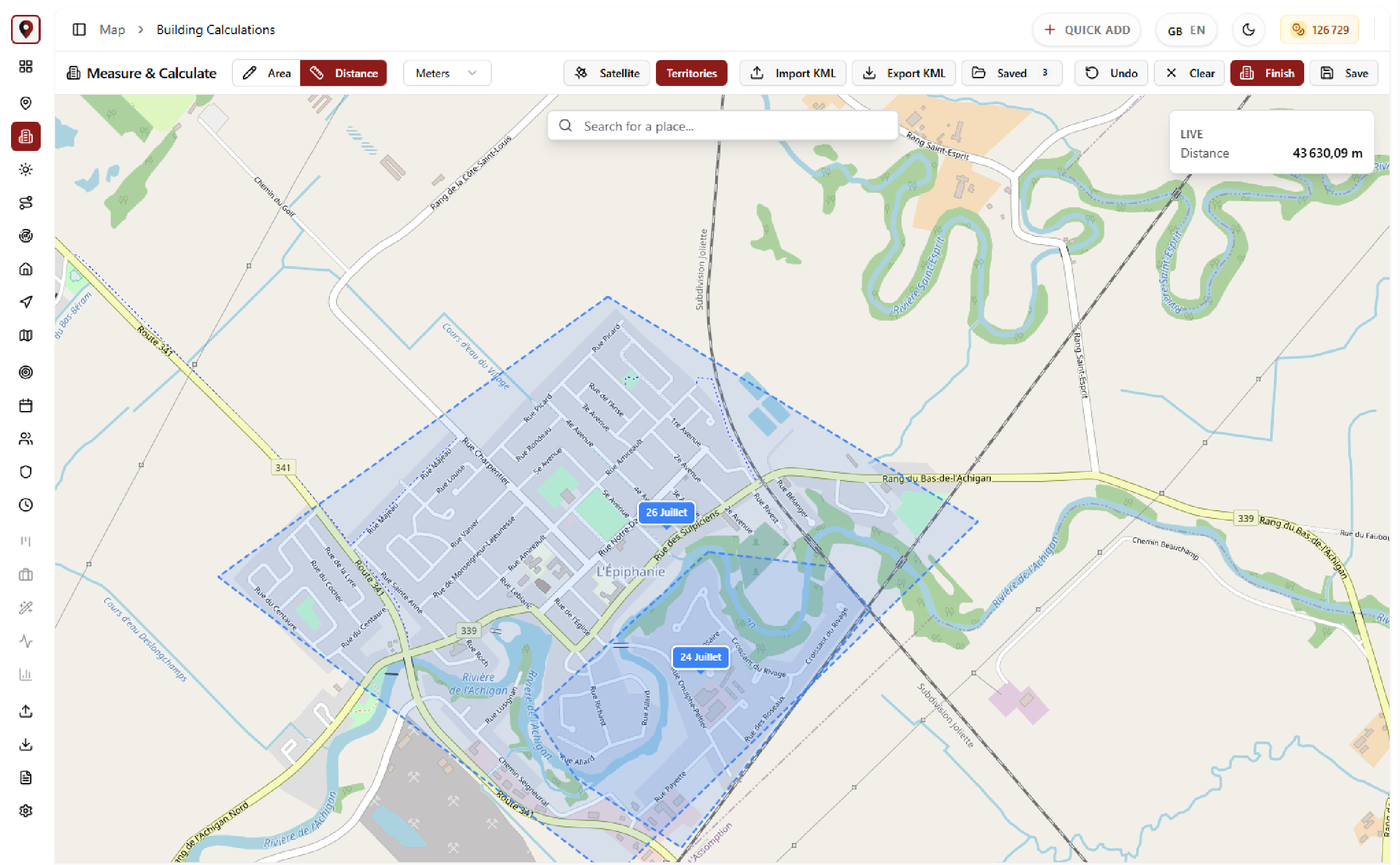
Building Calculations.
Query building footprint data within any drawn area. Save calculations for future reference.
Complete Feature Overview
Draw an area on the map and get instant building measurements. Roof dimensions, footprint math, and saved calculations flow directly into lead records for quoting on the spot.
Key Benefits
- Automatic building footprint calculation
- Area measurement tools
- Save calculations to lead records
- Export measurement data
- Property comparison tools
More Features
Keep exploring the platform.
🗺️
Interactive Sales Map
Visualize your entire sales territory on a Leaflet-powered interactive map. Color-coded pins show lead statuses at a glance.
Learn more →📍Real-Time Agent Tracking
See where your field agents are in real time on a live map. Overlay territories to verify coverage and monitor check-ins.
Learn more →🛣️Route Planner
Plan optimized multi-stop routes for field agents. Algorithmic route optimization saves drive time.
Learn more →